Satellite Images of Maui Fire Taken Down “At the Request of Responding Organizations in Hawai’i”
Actions by officials on Maui have contributed to an air of suspicion about the handling of the Lahaina fire that killed over 100 and left around 1000 people unaccounted for, including many children. Media access is tightly controlled, drones are grounded for getting too close to the suspected origin site of the fire and now satellite images from the fire have been taken down from a news site. The censorship incident appears to be isolated but troubling just the same. The photos were widely published and remain online elsewhere.
A Gateway Pundit reader sent in a tip (thank you) that an interactive satellite map APP comparing before and after photos of Lahaina has been taken down. The map was featured in a news article by Scooty Nickerson with the Bay Area News Group headlined: Interactive Maui wildfire map: Before and after images of Lahaina show scale of devastation
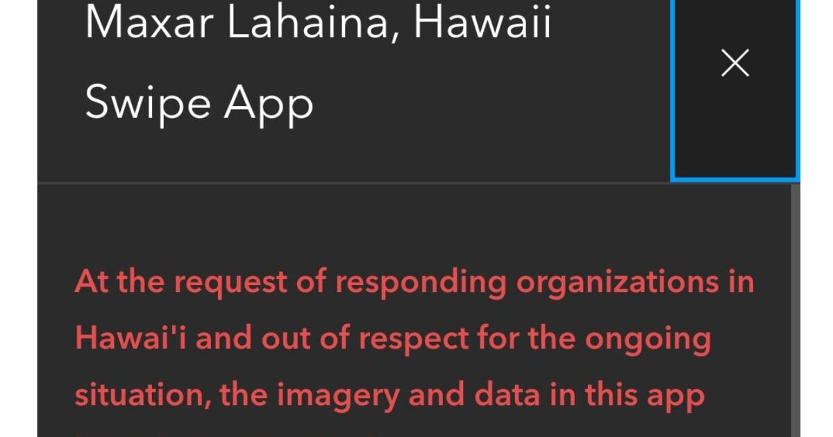
A message where the images once were reads: “At the request of responding organizations in Hawai’i and out of respect for the ongoing situation,


